
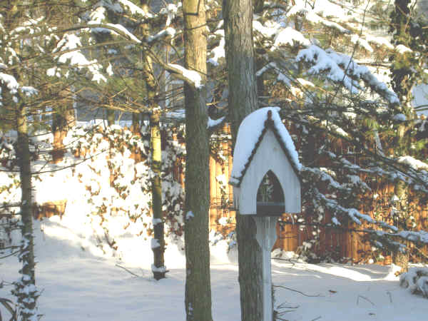
Even the birds don't come out to visit this backyard feeder with temperatures hovering around zero. Weather Moderating, But Snowfall Already is Two-Thirds of Normal Winter
|
||||||||||||||
| Printer Friendly Story View |
The National Weather Service (NWS) reports that frigid conditions will moderate this week but lake effect snow and low temperatures are expected to continue.
Daytime highs in the middle 20s with overnight lows in the middle to upper teens are expected Monday through Wednesday, the NWS Weather Forecast Office in Gaylord reported.
Warming is seen toward the end of the week with continuing chances of snow and little accumulation expected.
Thirty two inches of snow have been recorded in Bay City so far this winter.
Since the normal winter total is 48 inches, that means that about two-thirds of the snowfall is already in the books. So, an abnormally high snowfall is almost sure to be recorded this winter.
It may make you folks in the Bay City area feel better to know that a blizzard with 30-50 mph winds struck New York and 12 eastern states this past weekend, blanketing Central Park with 12-18 inches and New Jersey with 18-24 inches of snow. Airports and highways were closed.
In Chicago, eight inches of snow delayed flights at O'Hare Airport by nearly eight hours and stranded passengers slept on cots.
If you really want to feel even better, consider this report from Palm Beach County, Florida, sent to us by Donald A. Sherman, former Bay Cityan:
"The National Weather Service in Miami has issued a wind chill advisory through Monday morning. Temperatures will fall rapidly across southern Florida; wind chill readings will reach the mid to upper 20s."
Prior to this past weekend's snowfall, that totaled about five inches, City Manager Robert V. Belleman reported the city had used nearly 1,200 tons of road salt, or about 35 percent of the normal amount used by road crews.
"City fleet crews are handling increasesd service calls to city vehicles due to the extreme cold weather conditions," said Mr. Belleman. The increased calls include hard-starting vehicles, air brake and hydraulic system problems.
"The increase in service calls is because the city lacks heated storage space," said Mr. Belleman.
NWS forecasts for the Bay City area:Monday: 40 percent chance of snow before 3 p.m.; mostly cloudy with a high around 27; wind chill between -7 and 3; breezy, west wind 16-20 mph.
Monday night: Mostly cloudy, low near 18; west northwest wind 3-10 mph.
Tuesday: 30 percent chance of snow after noon;mostly cloudy, high 29; calm south wind 5-8 mph.
Tuesday night: 40 percent chance of snow; mostly cloudy, low 25.
Wednesday: Chance of snow flurries; mostly cloudy, high 29.
Wednesday night: Mostly cloudy, low 9.
Thursday: Sunny, high 18.
Thursday night: Cloudy, low 8.
Friday: Cloudy, high 25.
Friday night: Cloudy, low 18.
Saturday: Cloudy, high 29.###
| Printer Friendly Story View |
|
|
Prior Article
March 5, 2025 by: Stephen Kent St. Patricks Parade 2025 - IT's TIME |

|
Next Article
February 10, 2020 by: Rachel Reh Family Winter Fun Fest is BACC Hot Spot for 2/10/2020 |
|
|

Dave Rogers |
|
|
|
Printer-Friendly Story View
0200 Nd: 06-05-2026 d 4 cpr 0
12/31/2020 P3v3-0200-Ad.cfm
SPONSORED LINKS
12/31/2020 drop ads P3v3-0200-Ad.cfm